Expert GIS Mapping Services
& GIS Consultation
From your first interactive web map to enterprise satellite pipelines — we turn raw spatial
data into actionable decisions.
Serving clients across 5 countries · 50+ geospatial projects delivered. We are a leading gis
consulting firm delivering top‑quality geospatial services.
Interactive Web GIS Development
Launch a custom interactive web map for your website or business in 2026. From Leaflet.js to ArcGIS Online — we handle everything from spatial data to deployment.
Remote Sensing & Satellite Mapping
Turn raw satellite imagery into land-use maps, vegetation indices, and environmental reports your team can act on — with precision geospatial analytics.
Trusted GIS Consultation
Every GIS project comes with clear communication, on-time delivery, and results that speak for themselves — verified by real client reviews on Upwork.
Core GIS Mapping Services
The most-requested geospatial capabilities we deliver — with precision, on time, every time.
Interactive Web Mapping
Custom embeddable interactive maps for your website or business. Built with Leaflet.js, Mapbox, ArcGIS Online, and QGIS for any scale.
Explore service →Parcel & Cadastral Mapping
Land parcel digitization and cadastral mapping from satellite imagery for property management, land records, and geospatial data visualization.
Explore service →ArcGIS & Enterprise GIS
ArcGIS Pro, ArcGIS Online dashboards, StoryMaps, and Experience Builder apps. Enterprise GIS Solutions for organisations of all sizes.
Explore service →Spatial Data Analysis
Network analysis, transportation studies, clustering, proximity analysis, and advanced geoprocessing workflows with Python GIS automation.
Explore service →Recent GIS Projects
Click any project to explore our full gallery of GIS mapping and geospatial analysis work.
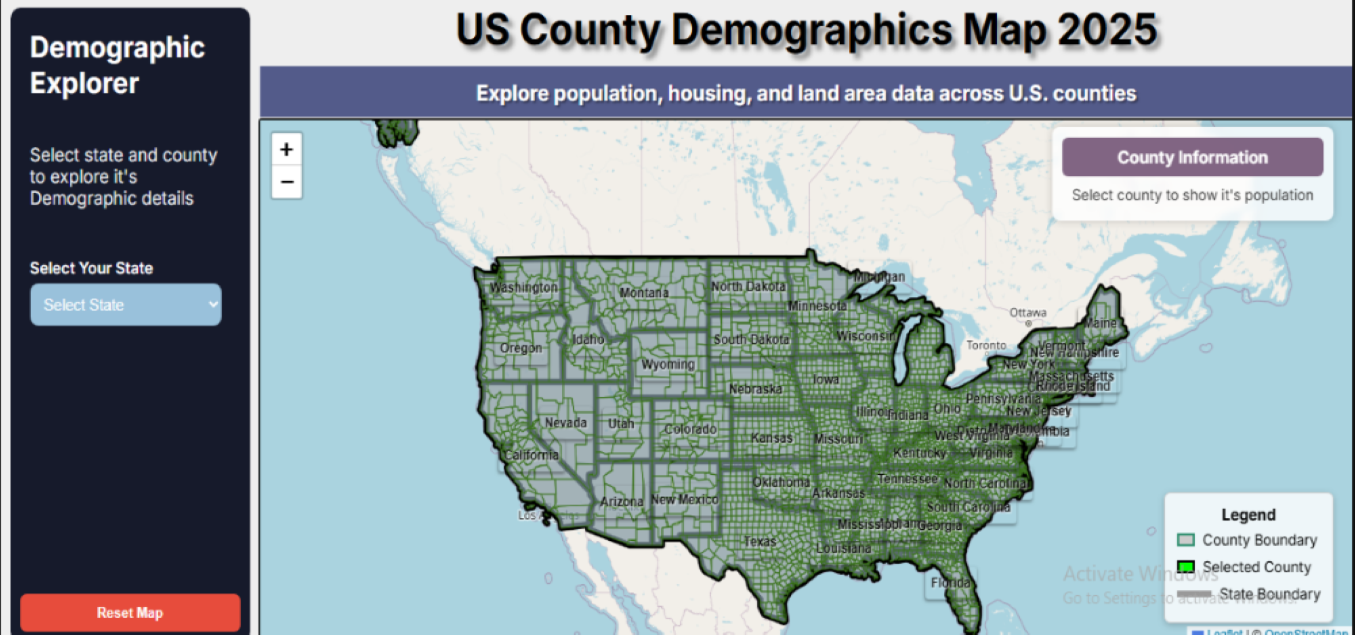
Interactive Population Map
Leaflet.js county demographics map with dynamic filters and real-time data panels showing 2025 population data.
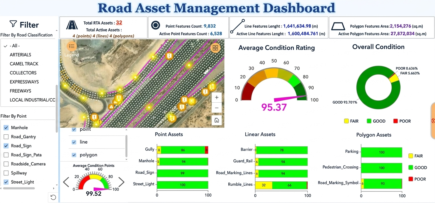
GIS Data Dashboards
Real-time road asset management dashboard for GIS data visualization to monitor condition of critical infrastructure assets.
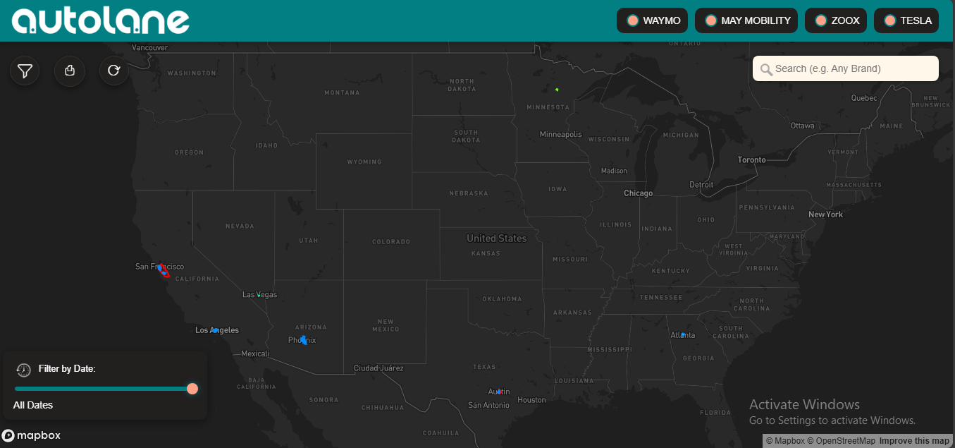
Interactive Mapping Platform
High-profile interactive mapping using Mapbox & Google Places API with ArcGIS Online for smart city geospatial solutions.
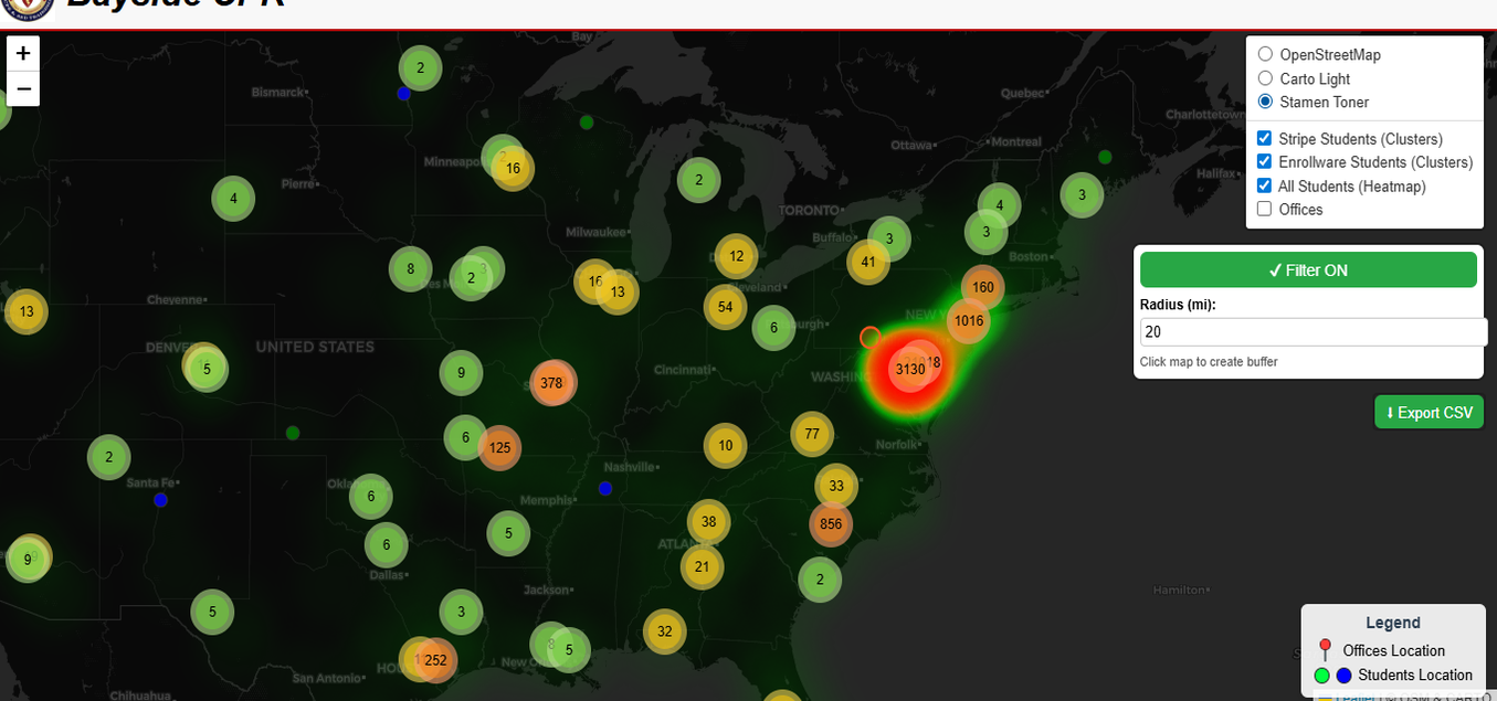
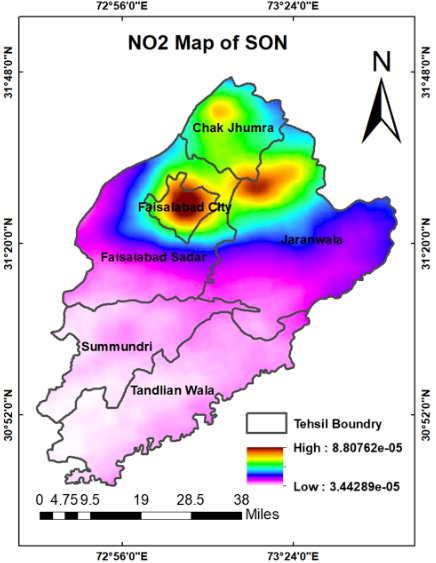
Clustering & Spatial Heatmap
ArcGIS Online heatmap visualizing service density for strategic demand planning and spatial data analysis.
City Layout GIS Mapping
GIS-based layout maps with road networks and land-use zoning for urban planning and geospatial analytics.
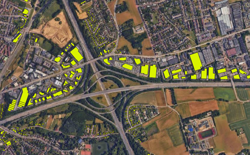
Land Parcel Digitization
Parcel and cadastral datasets extracted from satellite imagery for land management and geospatial data visualization.
GIS Articles & Blogs
Expert GIS guides, geospatial tutorials, and spatial data analysis insights from our GIS specialists.
How GIS is Transforming Urban Planning in 2026
Discover how city planners are using spatial data analysis, interactive zoning maps, and LiDAR to design smarter, more livable cities with geospatial analytics.
Read article →ArcGIS Pro vs QGIS: Which GIS Tool in 2026?
A practical, feature-by-feature comparison to help you pick the right GIS mapping platform for your project — from our QGIS Expert and ArcGIS Services team.
Read article →Why Every Business Needs an Interactive Web Map in 2026
From real estate to logistics — interactive web maps and web GIS development are driving conversions and customer engagement across industries.
Read article →Geospatial Solutions Across 5 Countries
Trusted by organisations across the US, UK, UAE, Australia, and Russia for diverse GIS mapping services and consultation.
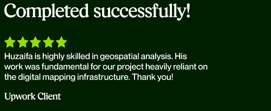
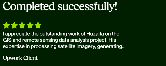
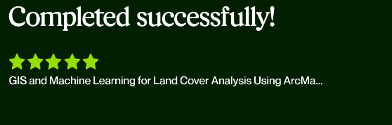
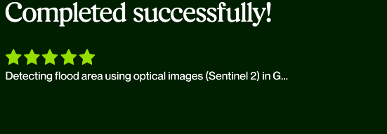
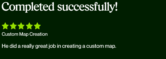
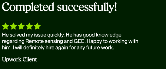
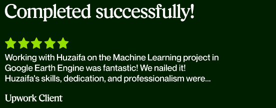
What Clients Say
Real reviews from GIS mapping projects delivered across five countries — captured from our Upwork profile.


Ready to Build Your Enterprise GIS Solution?
Tell us about your project — we respond within 24 hours with a free consultation and quote.