
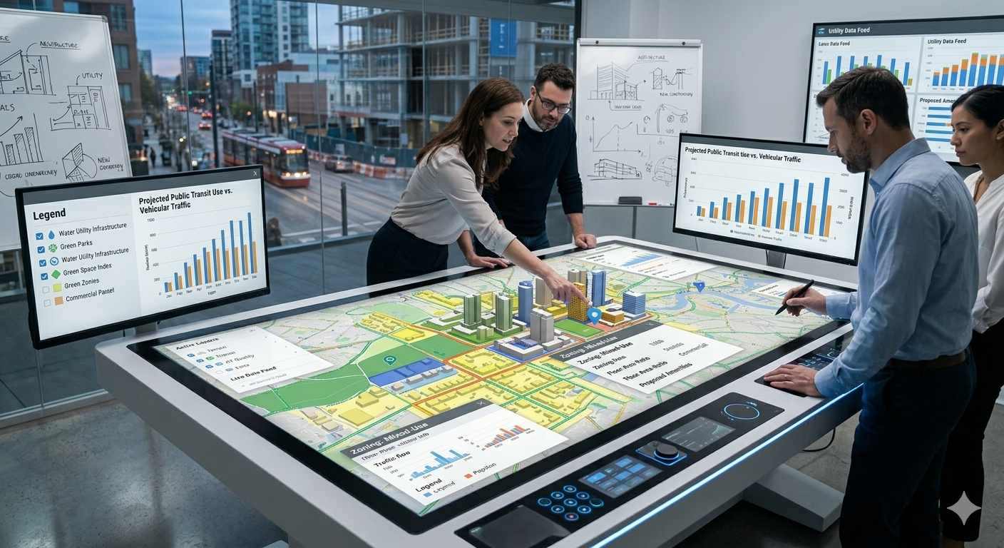
City planners worldwide are embracing Geographic Information Systems (GIS) to tackle the most pressing urban challenges — from housing shortages to traffic congestion and climate resilience. In 2026, GIS has become the central nervous system of smart city initiatives.
Urban planning has historically been a slow, rigid discipline. Layout maps were drawn, debated, and printed over months or years, only to become outdated almost immediately upon completion. Today, the integration of real-time geospatial pipelines is changing the industry, enabling planners to make swift, data-driven decisions that shape our cities for the better.
The Shift from Static Maps to Dynamic Spatial Intelligence
Traditional urban planning relied on static paper maps and siloed datasets. Today, GIS platforms integrate real-time data from IoT sensors, satellite imagery, and citizen feedback. Planners can now visualize how a new transit line affects property values, traffic patterns, and air quality — all before breaking ground.
This dynamic spatial intelligence is especially critical for local municipalities aiming to design walkable, 15-minute neighborhoods. By overlaying demographic datasets with pedestrian routing layouts, planners can instantly identify "amenity deserts" — areas lacking groceries, parks, or healthcare — and allocate resources with surgical precision.
LiDAR and 3D City Modeling
LiDAR (Light Detection and Ranging) has revolutionized urban analysis. High-resolution 3D models allow planners to simulate shadow impacts, wind flow, and emergency evacuation routes. Cities like Singapore and Dubai have pioneered digital twins — virtual replicas of entire urban environments — enabling data-driven decision-making at an unprecedented scale.
Using these digital twins, city layout mapping can be stress-tested against simulated disasters. For example, severe coastal flood modeling allows engineers to visualize water accumulation block by block, adjusting zoning restrictions and designing retention ponds in the virtual world before committing real-world construction budgets.
"GIS has moved from a niche tool to a core competency for every urban planning department. If you're not using spatial data, you're planning blind."
— American Planning Association, 2026The Future: AI + GIS
Machine learning algorithms now predict urban growth patterns, identify illegal dumping sites from satellite imagery, and optimize waste collection routes. The combination of AI and GIS is unlocking insights that were impossible a decade ago.
By automating the detection of land use and land cover (LULC) changes from monthly satellite images, planners can track rapid deforestation, agricultural land loss, or informal settlements. This immediate feedback loop allows city administrations to enforce environmental regulations and manage sustainable urban sprawl in real time.
As we look forward, the role of GIS in urban planning will only expand. Through custom web GIS maps and collaborative dashboards, citizens are also getting a seat at the planning table. Communities can view proposed zoning adjustments on interactive web maps, submit localized feedback directly, and actively participate in co-designing the smart, sustainable cities of tomorrow.